Today, farmers face multiple challenges. We need to find ways to increase food production and feed a growing population, while dealing with higher input costs for fertilizer, seed, and water.
According to the United Nations Food and Agriculture Organization, arable land per person is shrinking. It decreased from 0.38 ha in 1970 to 0.23 ha in 2000, with a projected decline to 0.15 ha per person by 2050.
We would like to share the story of Mark Foster, an independent crop consultant from the United States. Mark manages more than 30,000 acres of corn. The goals of his clients resonate well with the universal challenges we just outlined above: obtain high yields and minimize losses.
To preserve soil fertility, we need to balance modern intensive farming with innovation in technology and agronomic management. Field-level production management is one such innovation, used by Mark to help his clients produce more and spend less.
What Mark’s clients needed is the ability to observe, measure, and respond to varying conditions throughout a field. Understanding how crop limiting factors fluctuate throughout a field, would allow them to produce crops more effectively with less inputs, while limiting the negative environmental effects from nutrient and chemical leaching and runoff.
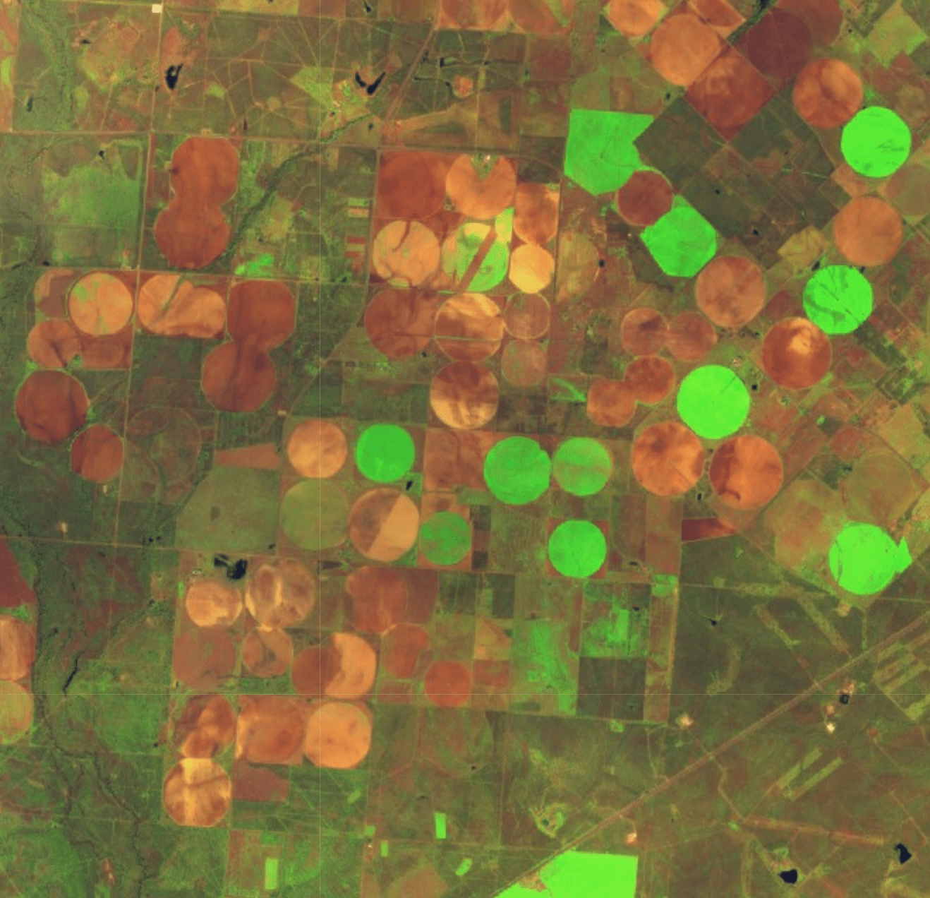
Satellite images from multispectral sensors are a major advancement in this area. They have an important role to play in field-level production management. Their ability to observe the visible, near-infrared (NIR) and shortwave infrared spectral bands is bringing land monitoring to a new level.
According to the “Landsat and agriculture - Case studies on the uses and benefits of Landsat imagery in agricultural monitoring and production” report, by using different combinations of bands, it is possible to detect differences in vegetation and soil characteristics within a field, even when those differences may not be visible to the human eye.
For example, green leaves that are high in chlorophyll content absorb red and blue light that drives photosynthesis and reflect light in the green and NIR wavelengths. High levels of chlorophyll, which is a key indicator of plant health, reflect strongly in the NIR wavelengths. Subtle changes to the level of light reflected in NIR can help producers detect plant stress, even if the visible greenness of the leaf appears similar or unchanged.
With the help of satellite data, Mark Foster is able to develop prescription zone maps for variable rate fertilizer application.
Foster notes that in some cases, variable rate application may lead to an increase in fertilizer use in high productivity areas. However, farmers are benefiting from not applying too much fertilizer and seed to low productivity areas.
The benefit for Foster’s clients is an increase in yield per acre, generally on the order of 10 percent, which equates to an increase in revenue.
Would you like to read more stories of farmers using satellite imagery to obtain high yields and minimize losses? Stay tuned for our next blog post.

Mihail Marinov, co-founder at Agrohelper