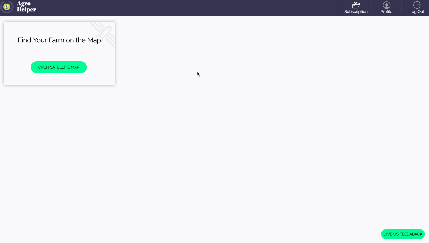
Dashboard
Once you’ve logged in, click on the open satellite map button to locate your farm and access satellite images and analyzes:
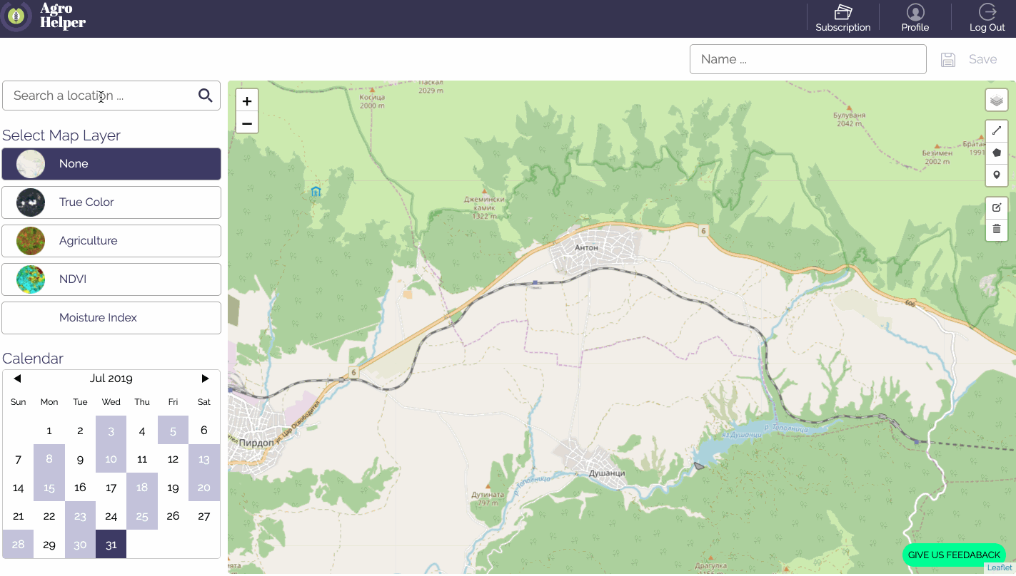
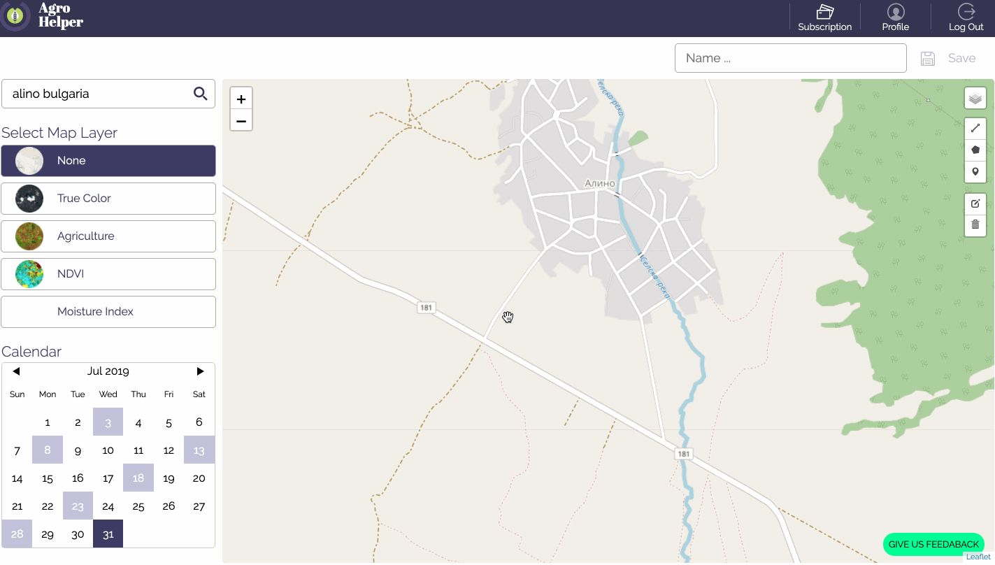
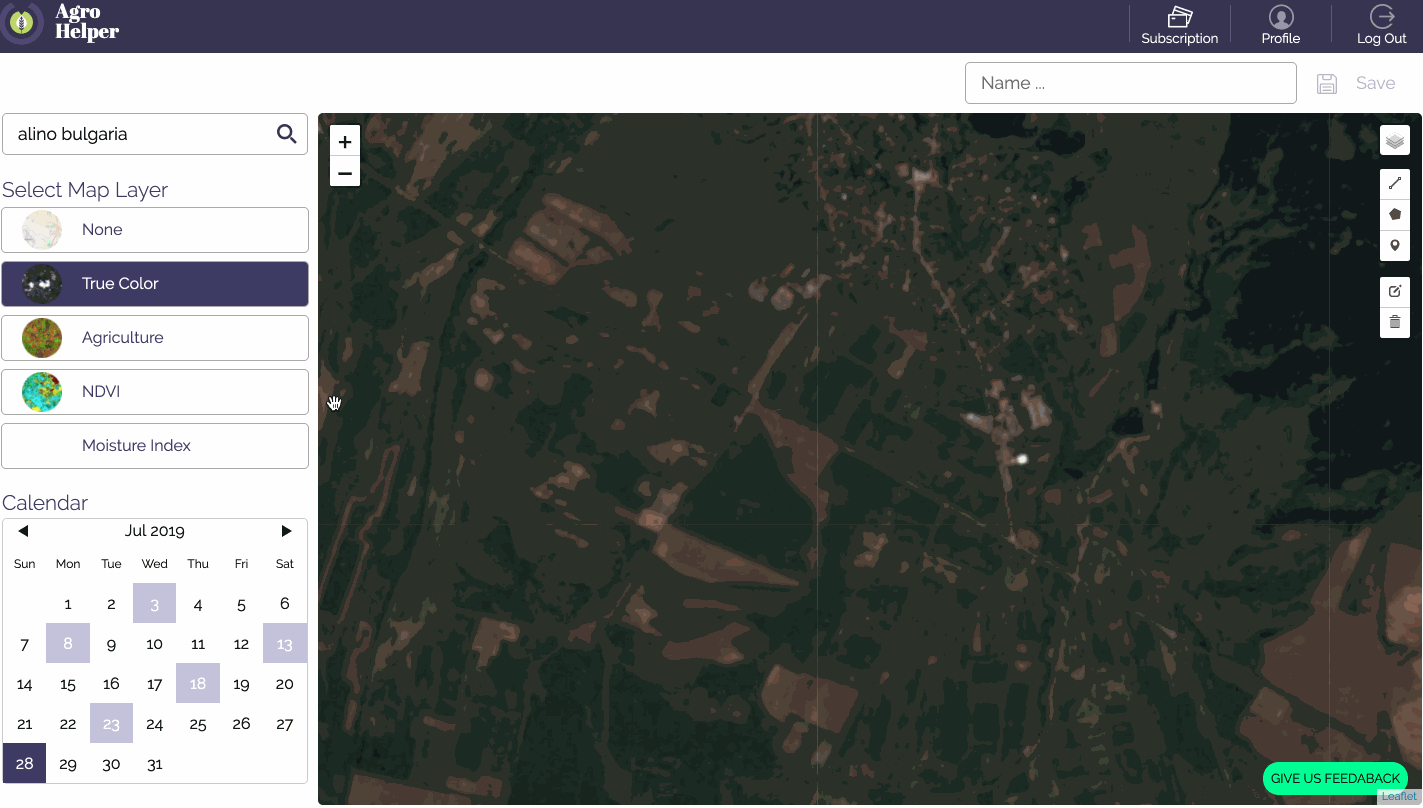
Search bar and navigation
Enter the name of a nearby location (village/city etc.) and navigate with the hand tool by holding the left mouse button, the same way you would do in any popular map application (i.e. google maps). You can zoom in and zoom out with the + and - buttons, located at the top left corner of the map.
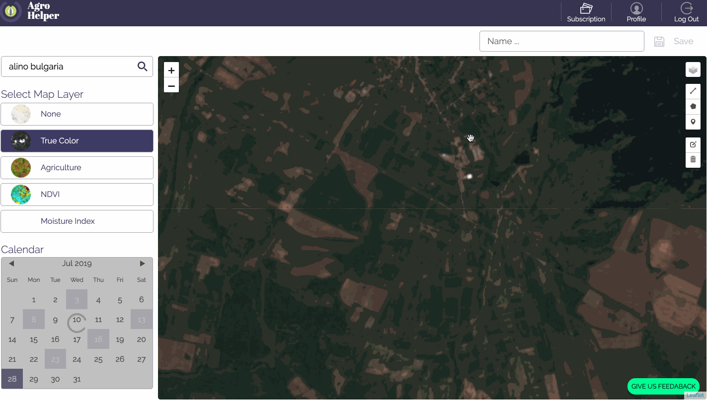
True Color Mode
Once you are close to the location of interest, switch to “True color” mode to see a current satellite image of the fields.
Please note that once you switch to “True color mode”, the software will show the latest available image. In case there is cloud cover, you can select another date with available image from the calendar. Available dates are displayed in grey.
True color mode is used for visual interpretation and classification of land cover.
Tools
You can use the tools to mark the field boundaries, find the size of an area of interest and take notes.
Agriculture analysis
The agriculture mode provides good contrast and is suited for mapping biomass content, as well as at detecting and analyzing vegetation.
NDVI analysis
The Normalized Difference Vegetation Index is the most known and used vegetation index. It is a simple, but effective for quantifying green vegetation. It normalizes green leaf scattering in the Near Infra-red wavelength and chlorophyll absorption in the red wavelength.
Moisture analysis
The moisture analysis is useful for measuring the moisture content of soil and vegetation.
Save
To save your progress and see the results in your dashboard, enter a name and push the save button located in the top right corner of the screen.

Mihail Marinov, co-founder at Agrohelper